Green Development Advocates | April 2021
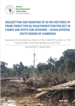
Degazetting and granting of 60 000 hectares of prime forest for oil palm production project in Campo and Nyete sub-divisions – Ocean Division, South Region of Cameroon
Evaluating the biodiversity impact of the Camvert project on the Campo Ma’an technical operations unit
Created by Prime Ministerial Decree No 054CAB/PM of 6th August 1999, the Campo Faunal Reserve and the Ma’an Production Reserve were merged in 1999 to create the Campo-Ma’an Technical Operation Unit (TOU) located in the South Region of Cameroon pre- cisely, between 2°09’-2°53’N and 9°48’-10°25’E (Campo Ma’an National Park Management Plan 2015 – 2019). The TOU (Land and Seascape) covers a surface are of 776,000 hectares comprising the Campo Ma’an National Park (264,064 ha, category 1 Park by MINFOF classification). Administratively, it is spread over three Divisions: Ocean, Vallée du Ntem and Mvila; and seven Sub-divisions: Kribi, Campo, Akom II and Nyete in the Ocean Division, Ma’an and Ambam in the Valle de Ntem Division and Ebolowa in the Mvila Division. The Campo Ma’an National Park is a High Value Conservation Forest (HVCF), surrounded by a multiple buffer zones including the Dipikar Island for the Gorilla Habituation project and five Fo- rest Management Units: FMU 09-021, FMU 09- 022, FMU 09-023, FMU 09-024 and FMU 09-025 that form the six permanent forest blocks in the TOU; Agro-industrial plantations HEVECAM (Rubber Plantation) and SOCAPALM (Oil Palm Plantation), a Deep Seaport at Kribi, Memve’ele HEP plant, Community Forests and other unclassified forest blocks.
Read the full report


