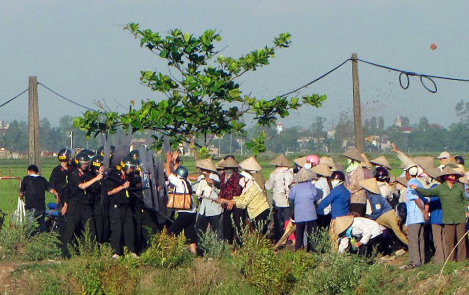
Riot policemen clash with protesters during a land seizure as farmers protest to protect their paddy fields from being part of a land grab to make way for the construction of an industrial park in Vietnam's northern Nam Dinh province, south of Hanoi May 9, 2012. (Photo: Reuters/Nguyen Lan Thang)
Can a global map secure land rights for rural peoples?
by Stella Dawson
"Buy land, they are not making it anymore," exhorted Mark Twain.
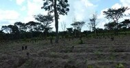
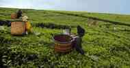
Foreign investors and big corporations have heeded Twain's call over the past decade, acquiring at least 83 million hectares for agriculture, mining and logging.
For the 75 percent of world's population that has no access to formal systems of land registration or other means to safeguard their land rights, these large-scale land acquisitions are a particular threat, especially when they are endorsed by the state government.
Enter the Global Platform of Indigenous and Local Community Lands.
A coalition of activists led by Peter Veit from the World Resources Institute (WRI) in Washington and Robin Chase Smith at Instituto del Bien Comun in Peru are building an online, interactive map to register all of the world's legally recognised land rights.
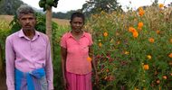
They want to secure the rights of the poorest and most vulnerable people who face dispossession from lands they have farmed, hunted or grazed for generations.
These people may have no legal documents proving land ownership or title, but they exercise customary and community rights that are legally recognised, even if not mapped.
Already the Global Platform has agreements with 20 countries to upload data on land tenure, usage and ownership. They are negotiating with 15 more, and plan to work with local communities and credible non-governmental organisations to build a repository of verifiable land rights, said Veit in presenting his plans at a World Bank conference on Land and Poverty.
It is a gargantuan task and one where others have stumbled.
MapMyRights is working on a crowd-sourced global registry. But its founder Robin McLaren broke recently with his partners at Omidyar Network over conflicting objectives.
The Land Matrix land-monitoring initiative began mapping large-scale land purchases, but it could not check data sufficiently, so converted to crowd sourcing a few years ago.
Smaller scale initiatives to document land rights involve using mobile phones and geo-positioning systems to upload information to databases, and taking satellite maps to communities and holding discussions to agree on boundaries.
The new global platform is far more ambitious because it plans to verify the data.
"The idea is to provide the opportunity for indigenous people and communities to let others know of the land they use and the rights that they have, and not for them to wake up on a Monday morning and find some company with map in hand says it now owns their land," said Veit, WRI director of land resources.
Questions abound. Will publicising who has rights to use the land empower communities or make them more vulnerable to outside buyers? What criteria are used to verify that different types of land rights are legally recognised and not simply land claims? How frequently will the maps be updated after land transfers?
Liz Alden Wiley, a land activist working on the project, said its basic purpose is to empower vulnerable communities.
"The world is owned. It may not be recognised and it may be highly contested, but the idea is to get these 3 billion people living in rural communities recognised," she said.